Surveyor 240-16 MBES
$4,990.00
SKU:
Shipping Lead Time: 4 to 6 weeks
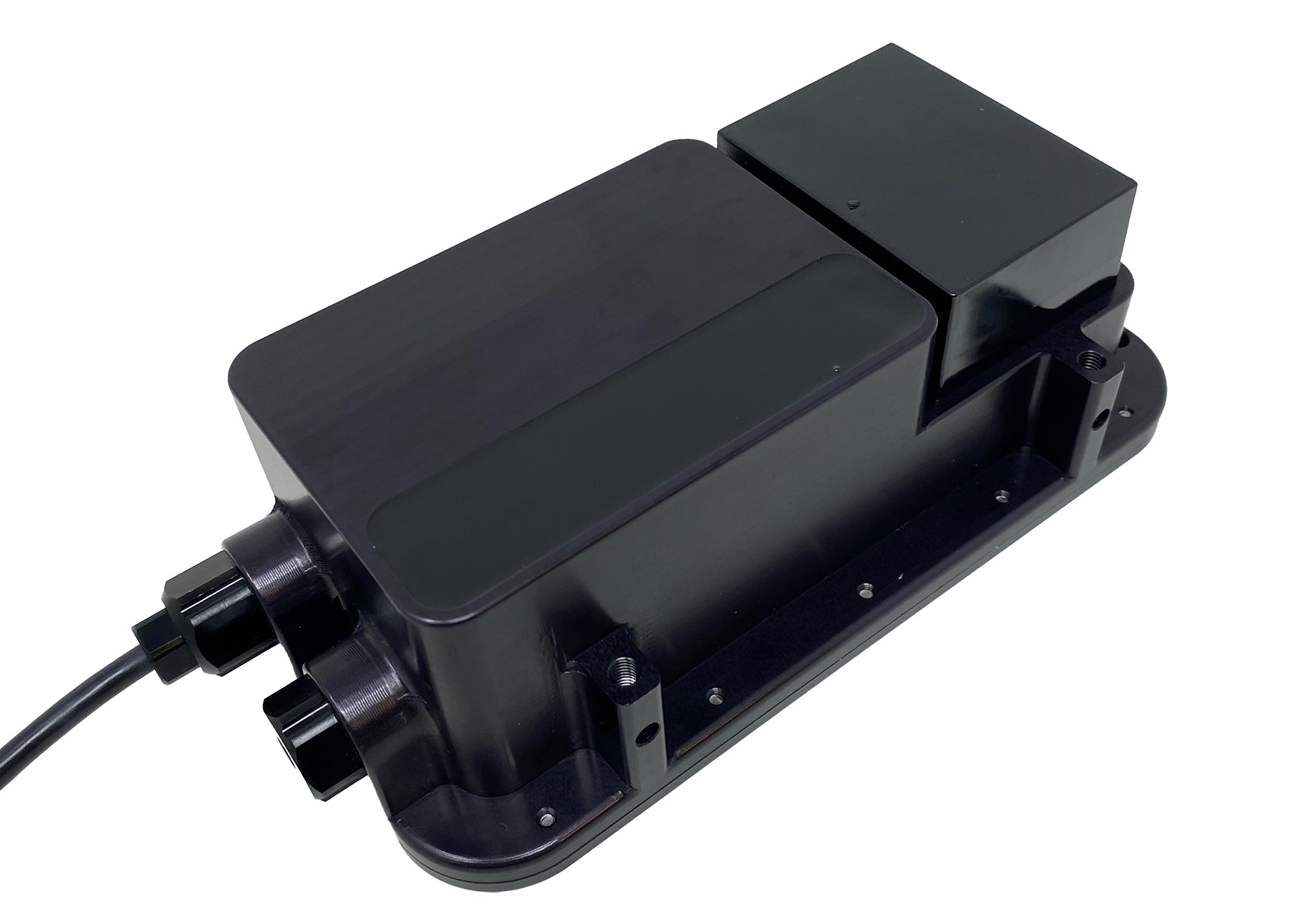
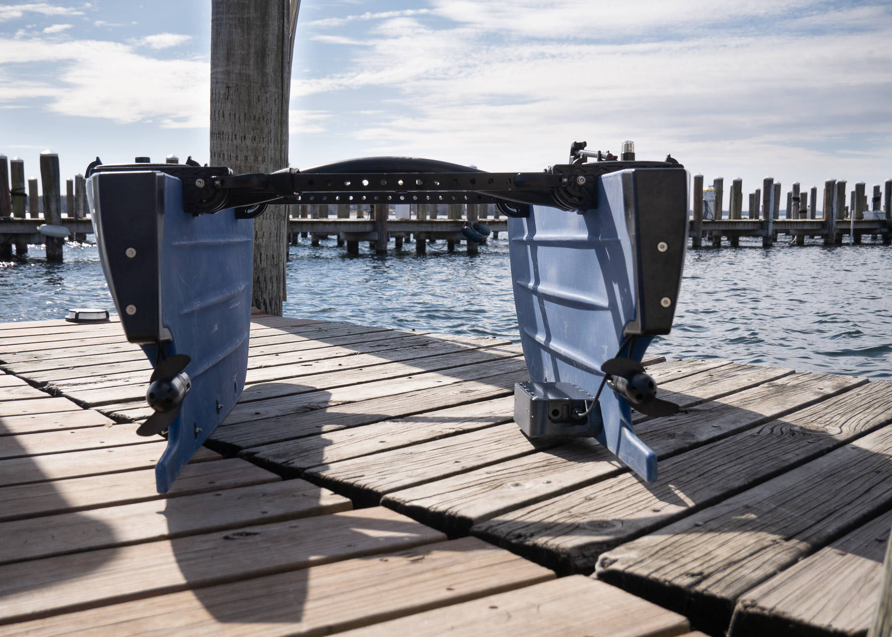
Finally, an affordable multibeam echosounder! Bathymetric surveys with MBES technology can be more than ten times faster than surveys with single-beam echosounders. With its small size and low cost, the Surveyor 240-16 is a perfect fit for deployment on the new generation of small Uncrewed Surface Vessels (USVs).
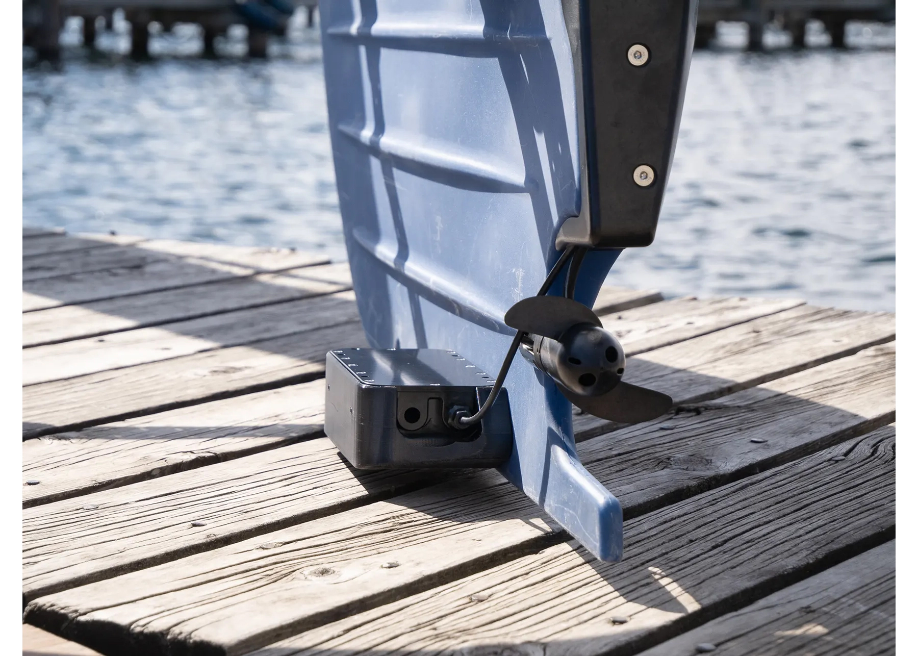
Deployed on a USV like the BlueBoat, Surveyor is ideal for surveys in very shallow waters, yet can handle surveys in depths to 50 meters and more.
Description
Surveyor 240-16 is a 240 kHz multibeam echo sounder (MBES). It has a transmit beam approximately 4 degrees along track, 80 degrees cross track, and a 16-element receive array.
Surveyor 240-16 utilizes an angle-of-arrival estimation algorithm to measure cross track location of specific acoustic reflectors well in excess of the accuracy achievable with conventional beam-forming techniques. Thus, although the effective cross track beam width with conventional beam forming is about 7 degrees, Surveyor can resolve angle of arrival to less than one degree.
Depending on the range and acoustic properties of the bottom, Surveyor typically identifies 10-15 acoustic targets across track within a swath width of 80 degrees. The position and depth of these targets are then accurately calculated by range and angle of arrival.
Surveyor includes a built-in IMU. SonarView uses the Surveyor IMU for pitch and roll compensation and combines this with position and heading information from the vehicle to accurately place each depth measurement in its correct geographic location.
SonarView Software for Surveyor 240-16
Cerulean SonarView software supports live capture, real time preview, offline mission replay, and data export for post processing.
During data collection, SonarView logs Surveyor attitude (pitch and roll), receive channel data, vehicle GNSS position, and vehicle heading.
Point cloud data is calculated and displayed in SonarView’s real time preview (see images below). A “fan view” image of each ping is also displayed which can be useful for assessing signal quality.
Speed of sound can be specified at export, at which the time the logged attitude and position data is processed to geographically corrected positions and depths.
Export formats include CSV point cloud data which can be imported for post processing in most hydrographic survey software.
In addition, SonarView supports Generic Sensor Format (GSF) export, a vendor independent data exchange format specifically targeting single and multibeam sonar data. GSF is designed to be modular and adaptable and is widely supported in the maritime community. GSF export from SonarView is currently available in beta version.
Based on customer feedback, additional formats will be considered.
SonarView is available in Windows, Linux, and macOS versions.
Surveyor 240-16 data showing a Boeing 737, intentionally sunk to create an artificial reef. The wreck lies in 25m of water in British Colombia and was surveyed with a BlueBoat USV.
Example Chart Output
These images show Surveyor 240-16 data CSV point cloud data processed in Reefmaster, an affordable entry-level sonar mapping program. CSV data can be imported to most hydrographic software packages and can also be viewed in generic point cloud viewing software such as CloudCompare, MeshLab, or Blender. We are working with various hydrographic software vendors to test compatibility and to explore other formats beyond CSV and GSF. Watch this page for further updates on software compatibility.
Reefmaster can easily generate charts with depth contours and isobaths. These charts can be exported for use in GIS software, a marine chart plotter, and even Google Maps!
What’s in the Box
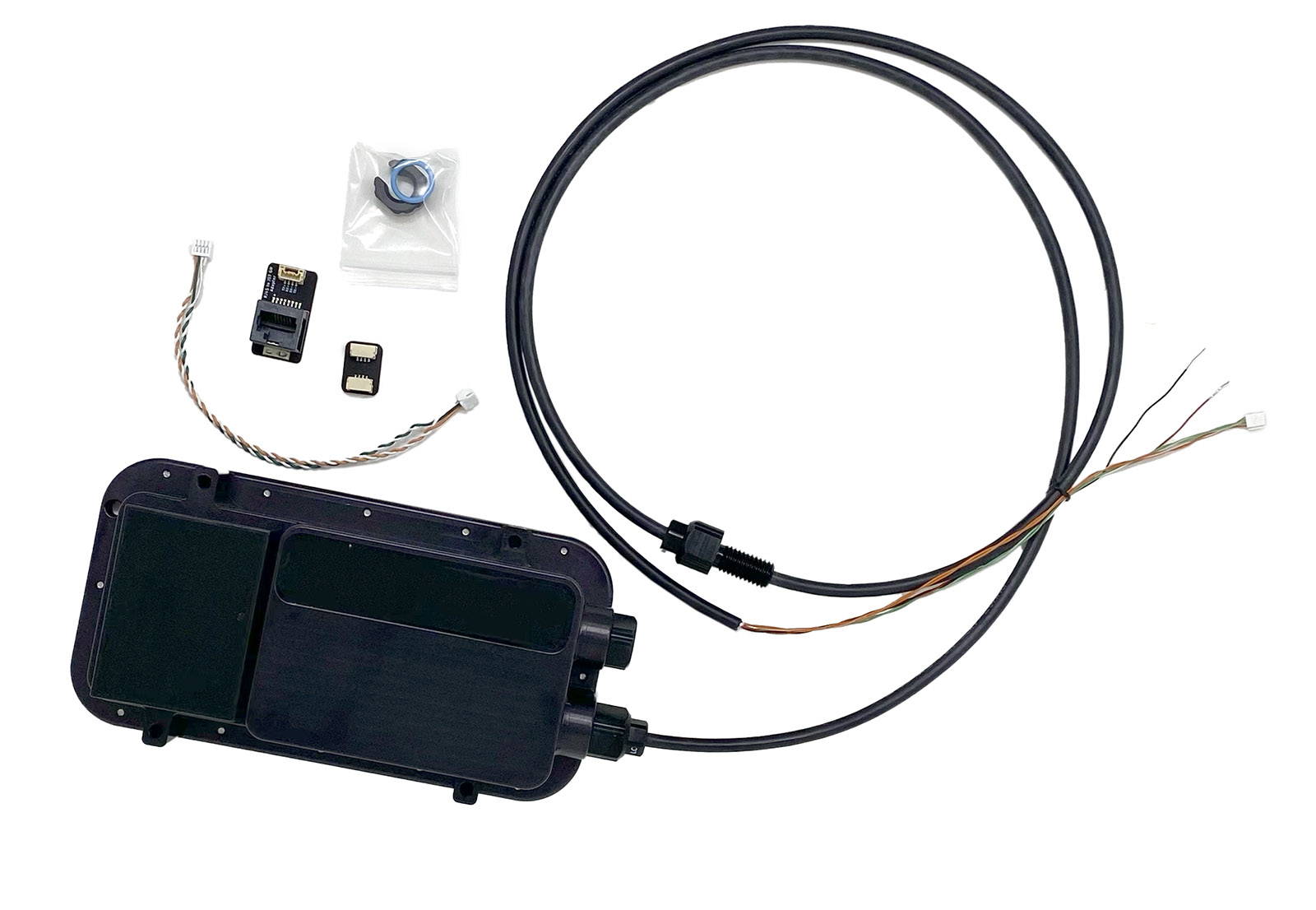
Surveyor 240-16 with Ethernet + Power Wiring Cable
Blue Robotics RJ45 to JST GH Adapter

Specifications
| Acoustic frequency | 240 kHz |
|---|---|
| Along track TX beam width | 4° |
| Cross track TX beam width | 80° |
| RX array # elements | 16 |
| Cross track beam width | 7° (conventional beamforming) |
| Cross track angular resolution | 1° (angle of arrival) |
| Range resolution | up to 1/800th of range setting |
| Maximum depth rating | 300m |
| Maximum suggested range | 100m |
| Power Supply | 10-30V, 5W typical at idle, 15W typical max while pinging |
| Data Interface | 100BaseT Ethernet (maximum of 500kbps bandwidth used when capturing full data stream) |
| Electrical Connection | JST GH (4 pos) for data (Blue Robotics connector standard.) Tinned wires for connecting to power. A JST GH to RJ45 adapter is included. |
| Weight in Air | 790g |
| Weight in Water | 145g |
| Maximum Ping Rate (pings / sec) | 16 @ 200 range steps, 10 @ 400 range steps, 6 @ 800 range steps |


