ROVLe Bundle Mark III
$5,990.00
SKU:
Shipping Lead Time: around 3 weeks
The Mark III ROV Locator takes the ease of use of a cost-effective underwater positioning solution to a new level. Using the interrogate/response model of a traditional USBL system, it dispenses with both distance sync at the start of the mission and period crystal calibration procedures. With the supplied topside CeruleanTracker software, you can get up and running in no time or use the open API to integrate the Mk III with your own software. The MK III has a 300m depth rating, and with no timebase drift, the system can remain submerged indefinitely without losing slant range accuracy.
Description
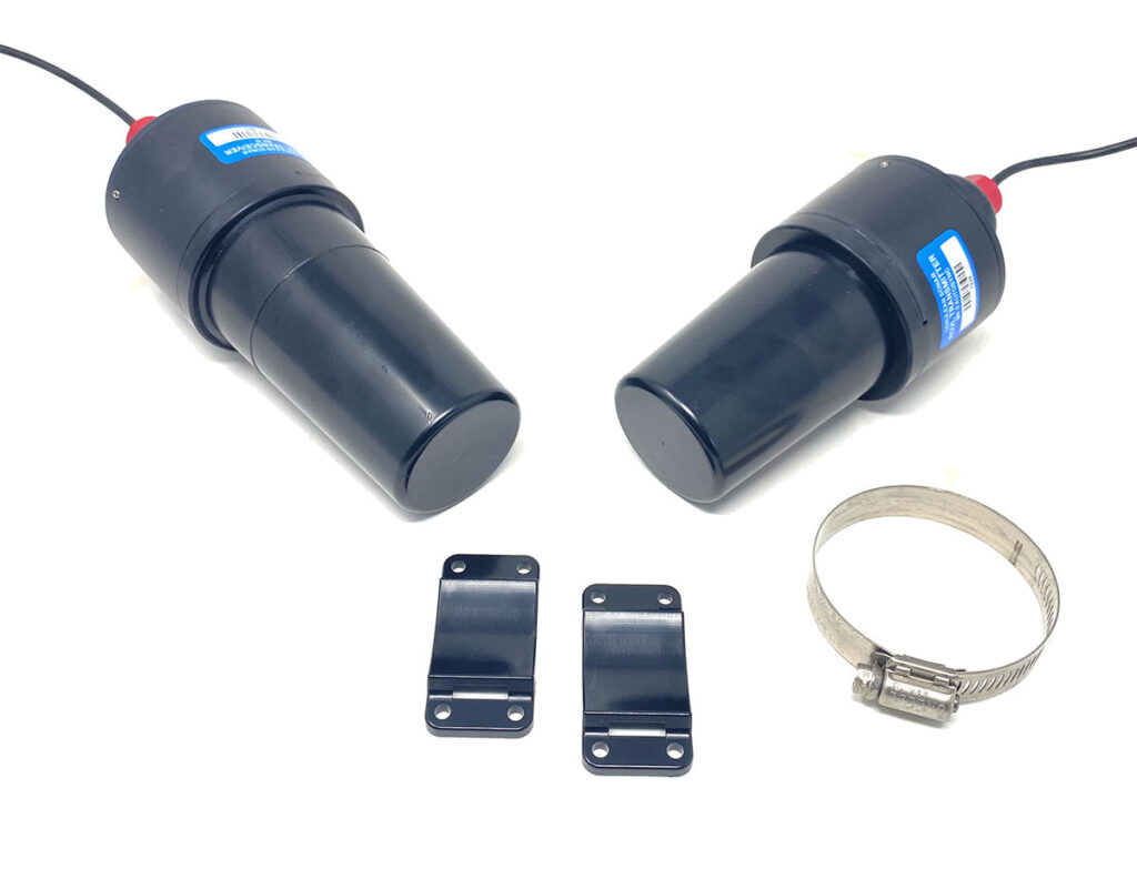
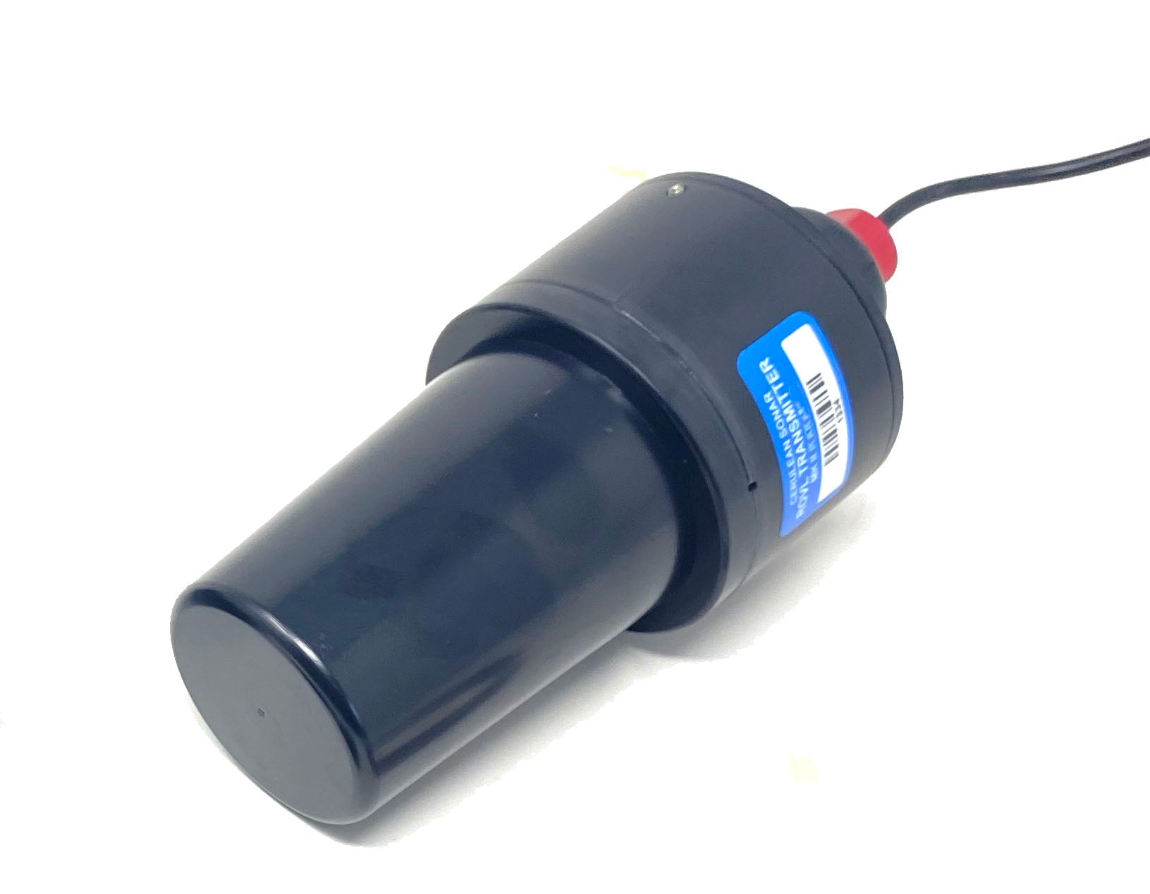
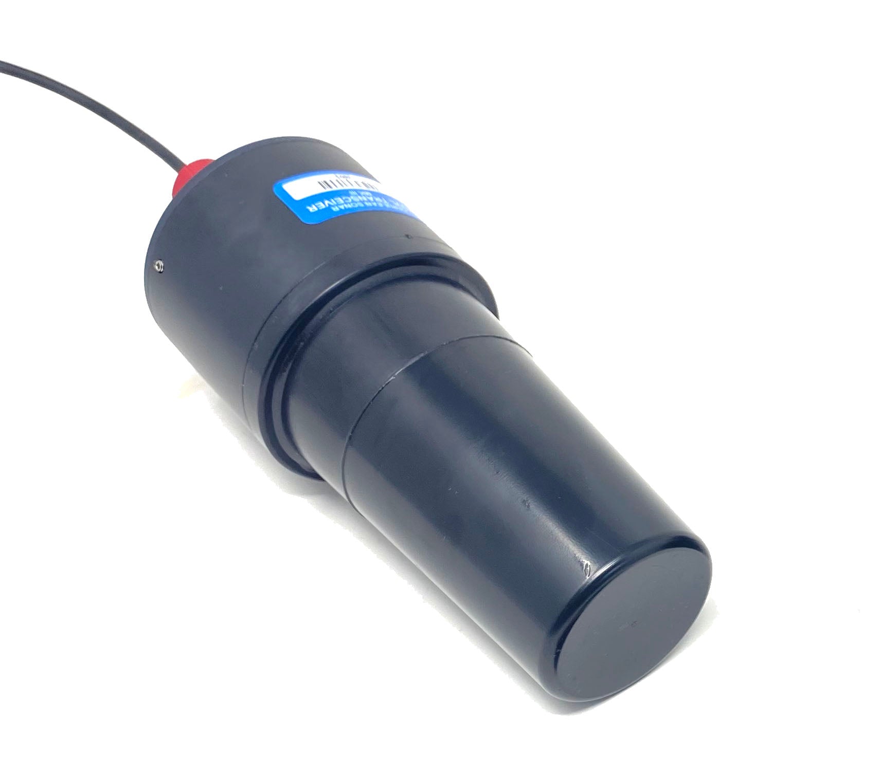
The Mark III, ROV Locator bundle includes a transponder (usually mounted on the ROV or AUV) and a transceiver module (usually located on the surface). It also comes with a mounting ring and adapter for your ROV or AUV. ROV/AUV integration can be as simple as just supplying power from the vehicle battery. You can also add a dedicated battery for the Mark III to track the vehicle in case of primary battery failure. Simply apply power, start the dive and track the ROV location in real-time on a QGroundControl map display or use the free CeruleanMap display software if you don’t want to use QGC. Serial communication to either transceiver or transponder is available, and the open API is documented in the user manual.
In operation, the Mark III transceiver sends an interrogation sonar pulse to the transponder, which returns a sonar reply. The slant range is calculated from the round-trip time of flight. Unlike the Mark II systems, start-of-mission timebase synchronization is never needed. The Mark III system can remain submerged indefinitely without fear of slant range accuracy drift. Only one Mark III pair can operate in an area at one time.
What’s in the Box
1 Transceiver and 1 Transponder
1 Hose clamp mount
2 Brackets

Notes: The Cerulean “6.5 meter serial-to-USB conversion cable” comes preinstalled with the ROVL Mk III Transceiver.
Specifications
| Maximum Depth Exposure (minimum crush depth) | 300m |
|---|---|
| Volume, Transceiver Unit | 480ml |
| Mass, Transceiver Unit | 600g |
| Volume, Transponder Unit | 300ml |
| Mass, Transponder Unit | 410g |
| Absolute Maximum Range | 300m |
| Typical Usable Range | 300m |
| Apparent Yaw/Azimuth resolution | 0.1° |
| Apparent Elevation angle resolution | 0.1° |
| Slant range measurement resolution | 0.1m |
| IMU Euler angle accuracy, typical (magnetic errors not included) | 2° |
| Update rate | 1Hz |
| Transceiver Ping Frequency | 25kHz |
| Transponder Ping Frequency | 25kHz |
| Transceiver V-in power (See note) | Vin: 5-16V DC |
| Transponder V-in power (See note) | Vin: 5-28V DC |
| Serial Comms Voltage Levels | 3.3V TTL or 5V TTL, auto sense |
NOTE : Power supplies for both units must be able to supply burst currents to prevent drop-out and erratic operation. While the transmitter will work with a low impedance 5V supply we recommend using 9V or higher, unless you know how to figure out if your 5V power supply is low-enough impedance.
NOTE : Resolution does not equal accuracy.


